A Breakthrough in Using Satellites for Conservation

A Breakthrough in Using Satellites for Conservation
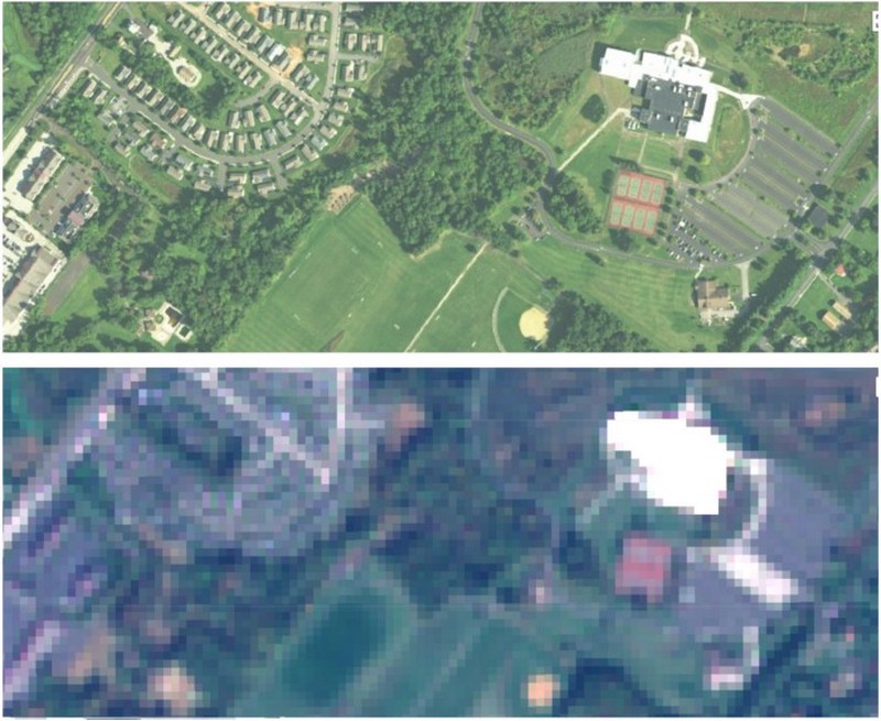
Satellite imagery is transforming conservation by allowing scientists and practitioners to inventory the Earth’s surface, measure changes and understand ecosystem dynamics in a level of detail never before possible. Yet this data revolution has fallen short in the critical area of actively monitoring and enforcing compliance with conservation laws, regulations and agreements. The ability to monitor protected areas and enforce compliance with conservation laws, regulations and agreements have long been the weak links in conservation laws and policies. And while this seems to be a task to which an abundance of satellite data is ideally suited, the idea of catching, for example, illegal land-clearing from space in near-real time has remained tantalizingly out of reach. Read more about satellite imagery and how it contributes to improving conservation here.