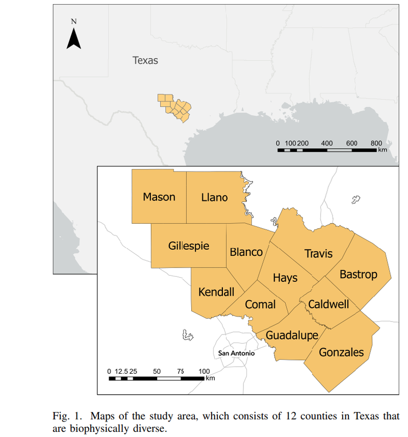
To be effective, ecosystem and habitat conservation must not only look at past losses but also understand the effects of current and future decisions on landscapes. Here, we present a transformative, user-driven land cover change prediction tool designed to aid land planners in strategic decision-making for conservation and habitat protection. Within an integrated map-based prediction pipeline, the tool uses machine learning (ML) and deep learning (DL) models to classify satellite images and make predictions of near-term land cover changes. The tool facilitates user interaction with a cloud-hosted ML model, making it accessible to nontechnical users for generating map-based predictions using big data. The tool’s key strength lies in its dynamic variable adjustment feature, empowering users to tailor scenarios related to potential future development planning. Through the integration of cloud-hosted ML and DL models with a user-centric interface, the tool has the potential to allow stakeholders and land planners to make informed decisions, actively minimizing habitat destruction and aligning with broader conservation objectives. We tested our approach in the context of central Texas, USA to evaluate its effectiveness in diverse conservation scenarios, with an average overall accuracy of 88% for the land cover class maps over four years and over 72% for the five-year land cover change prediction. While our approach has the potential to improve land management and planning for conservation, we also acknowledge the importance of rigorous model validation and ongoing refinement and highlight the need for technological advancement to be developed with strong stakeholder engagement.
As the Conservation Data Scientist, Pui Yu analyzes and synthesizes geospatial, remote sensing, ecological, and administrative datasets to evaluate and improve conservation practices.