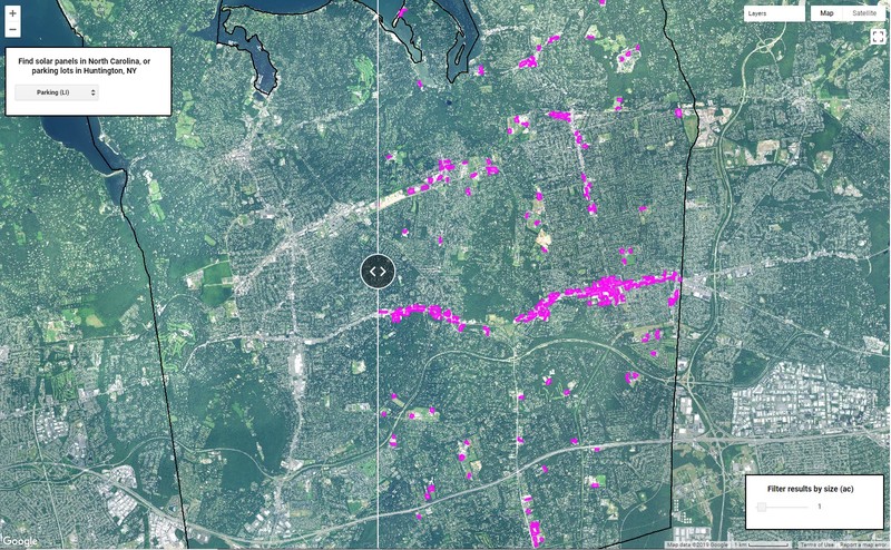

Defenders of Wildlife supports the development of renewable energy sources and works to ensure that this development is done in a manner that does not negatively impact wildlife. We used artificial intelligence technology and satellite data to help assess and minimize the impact of solar development on wildlife habitat. This app lets users view the outputs of two computer vision models - one trained to automatically map all the ground mounted solar panels in the state of North Carolina, and another to delineate all the parking lots on Long Island in order to proactively guide low-impact solar siting. This information is being used to assess the current impact of solar development to the availability and connectivity of wildlife habitat and may help guide future siting policy and practices.