Flexible, efficient, and effective monitoring and enforcement methods are needed to help conservation policies realize their full benefit. As remote sensing data become more numerous and accessible, they can be used to identify and quantify land cover changes and habitat loss. However, these data remain underused for systematic conservation monitoring in part because of a lack of simple tools. We are developing new methods that automatically detect land cover changes in a variety of habitat types using free and publicly available data and tools, collected here.
Publications
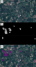
A Season Independent U-net Model for Robust Mapping of Solar Arrays Using Sentinel-2 Imagery
We have an unprecedented ability to map the Earth’s surface as deep learning technologies are …
Chesapeake Solar Fields AI Output
The growth of renewable energy is critical to slowing climate change, and the number of solar energy …
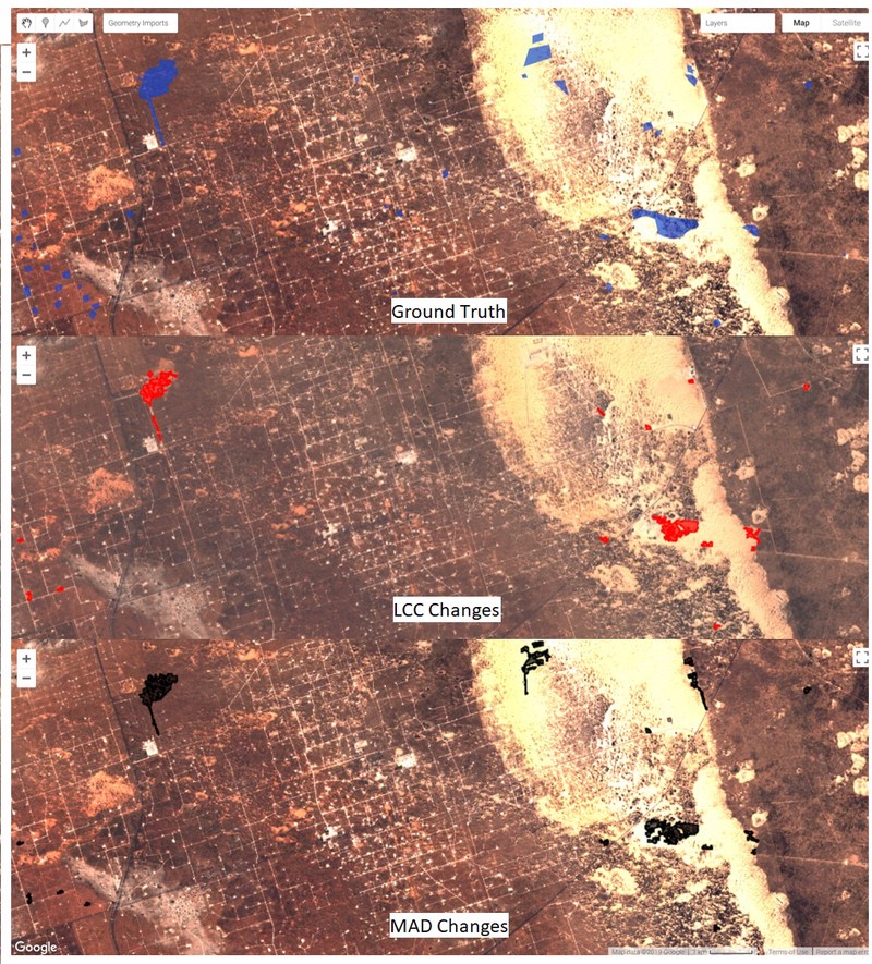
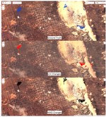
Supporting habitat conservation with automated change detection in Google Earth Engine
A significant limitation in biodiversity conservation has been the effective implementation of laws …
EarthEnticate
EarthEnticate is under construction but will eventually become a mobile friendly web app that lets …
Habitat Patrol
Laws and regulations that protect imperiled species and their habitats are often limited by …
Computer Vision for Renewable Energy
Defenders of Wildlife supports the development of renewable energy sources and works to ensure that …
Automated habitat change detection methods using satellite data to improve conservation law implementation.
A significant limitation in biodiversity conservation has been the effective implementation of laws …
Coastal Habitat Loss from Hurricane Michael
Hurricane Michael damaged countless communities along the gulf coast - an area that is also home to …
Monitoring Habitat Loss for Endangered Species Using Satellite Data
Implementing automated habitat change detection over the range of the Lesser Prairie-Chicken.


